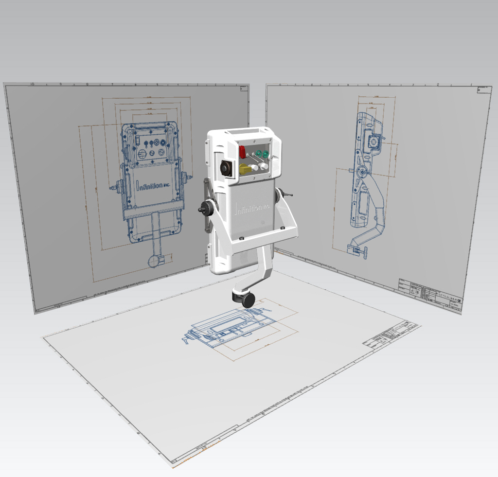
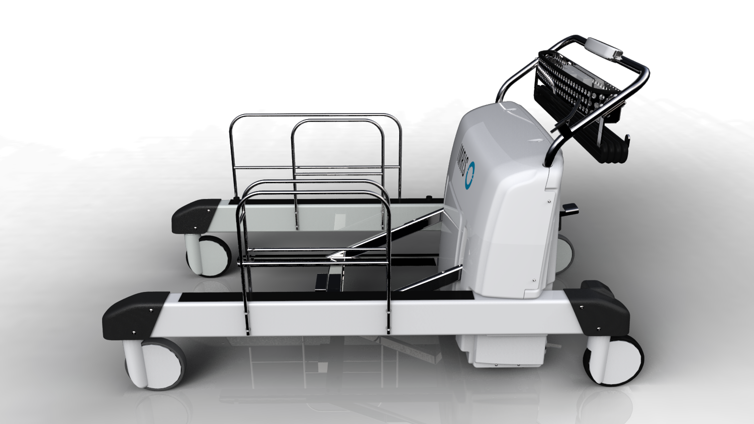
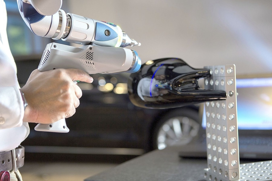
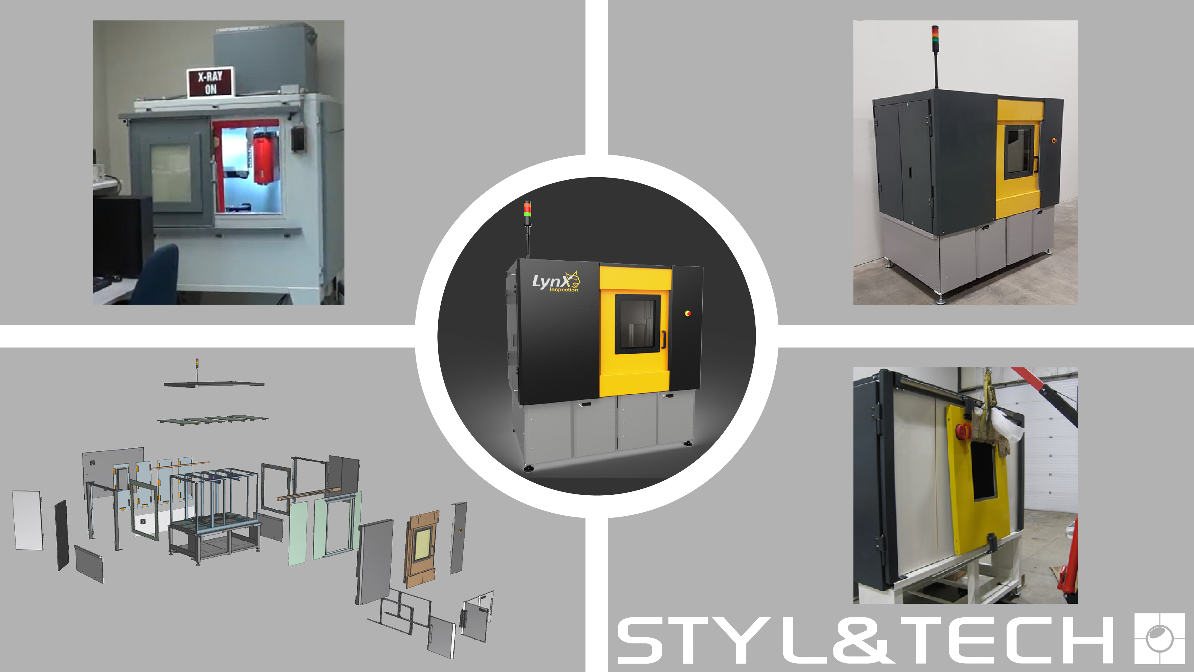
LynX Inspection had a good prototype in hands, but required an aesthetical and mechanical upgrade on their product to make it “market ready”. The design scope of the project was to design a […]
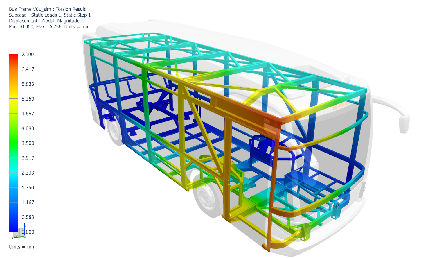
THE WEIGHT JUST GOT A WHOLE LOT LIGHTER.
Discover an ultra-lightweight aluminum frame for public transit midibuses.
Learn more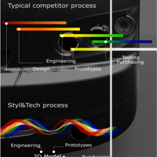
About
01
Our team of industrial designers, engineers and 3D CAD specialists work with one vision: integrate product design activities to accelerate response times and deliver quality to our clients, on time and on budget.
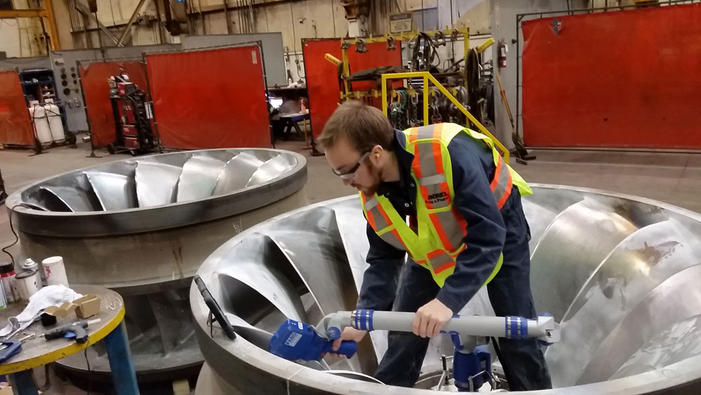
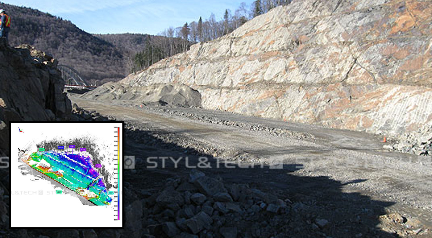
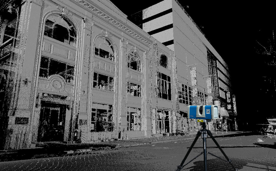
Our skills in 3D technologies and our integration of design, engineering, prototyping, and 3D laser scanning activities contribute to creating milestone projects in the shortest possible lead time. We invite you to discover our team.
Learn more
Services
02
Concept sketch proposal
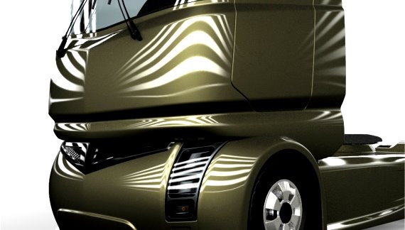
Brainstorming several propositions is the initial phase of our development process. By using sketches to demonstrate ideas, we track unique solutions, bringing innovative concepts to life with minimal investment. Our constant industrial application research permits us to understand the competition and identify the evolution of similar products. The goal is to find and to anticipate innovation niches from near-future technological advances and parallel markets.
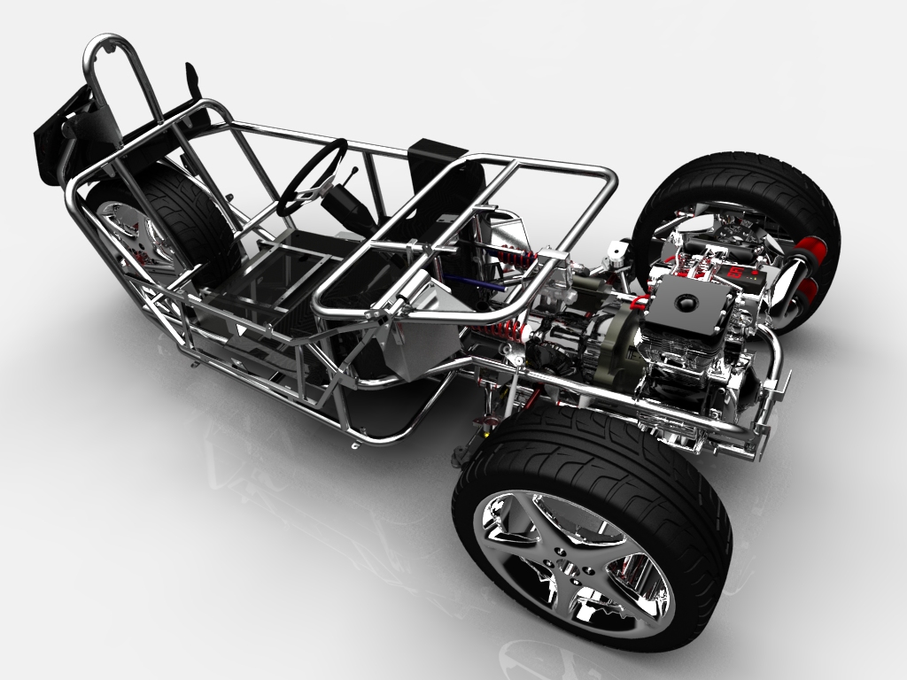
3D Modeling – Complex Shapes Parts
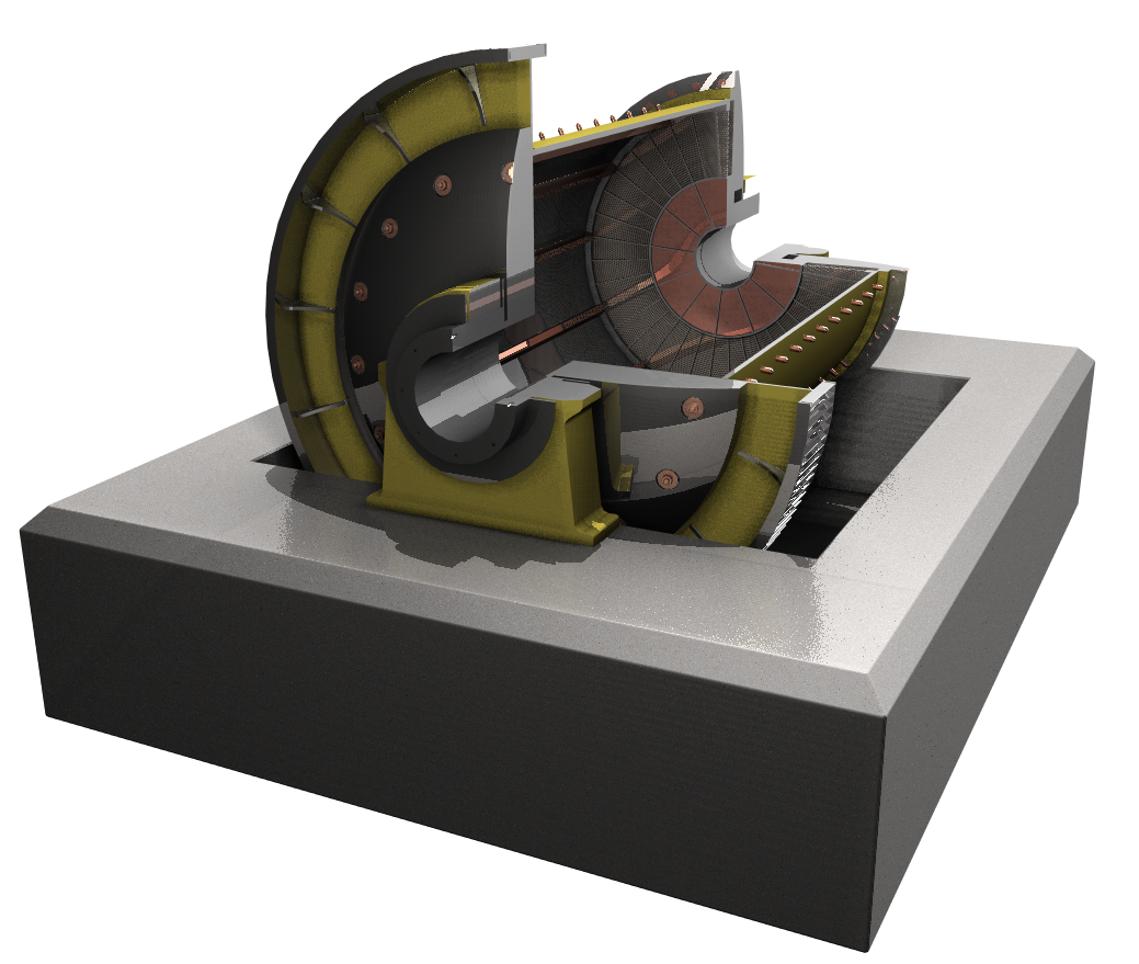
3D modeling is at the core of STYL&TECH’s design process. Our 3D CAD designers literally sculpt the design intent of selected concept sketches into a complete 3D CAD model. This enables mechanical engineers to integrate 3D components and systems to evaluate potential issues. Industrial parts created from 3D complex geometric shapes require high 3D molding skills and mold simulations to minimize the expensive fabrication investment. STYL&TECH developed a proven 3D technical simulation process through internal experimentation with different materials for several applications to minimize our client’s molding part expenses in the fabrication process.
3D Modeling - Class A Surfaces
In a 3D process similar to industrial clay modeling, S&T’s surfacing specialists develop 3D CAD surfaces up to class A, ready for industrial applications such as molding and stamping. From the 3D CAD data, STYL&TECH can also provides a 3D photo-realistic rendering of the client’s product before the initial fabrication.
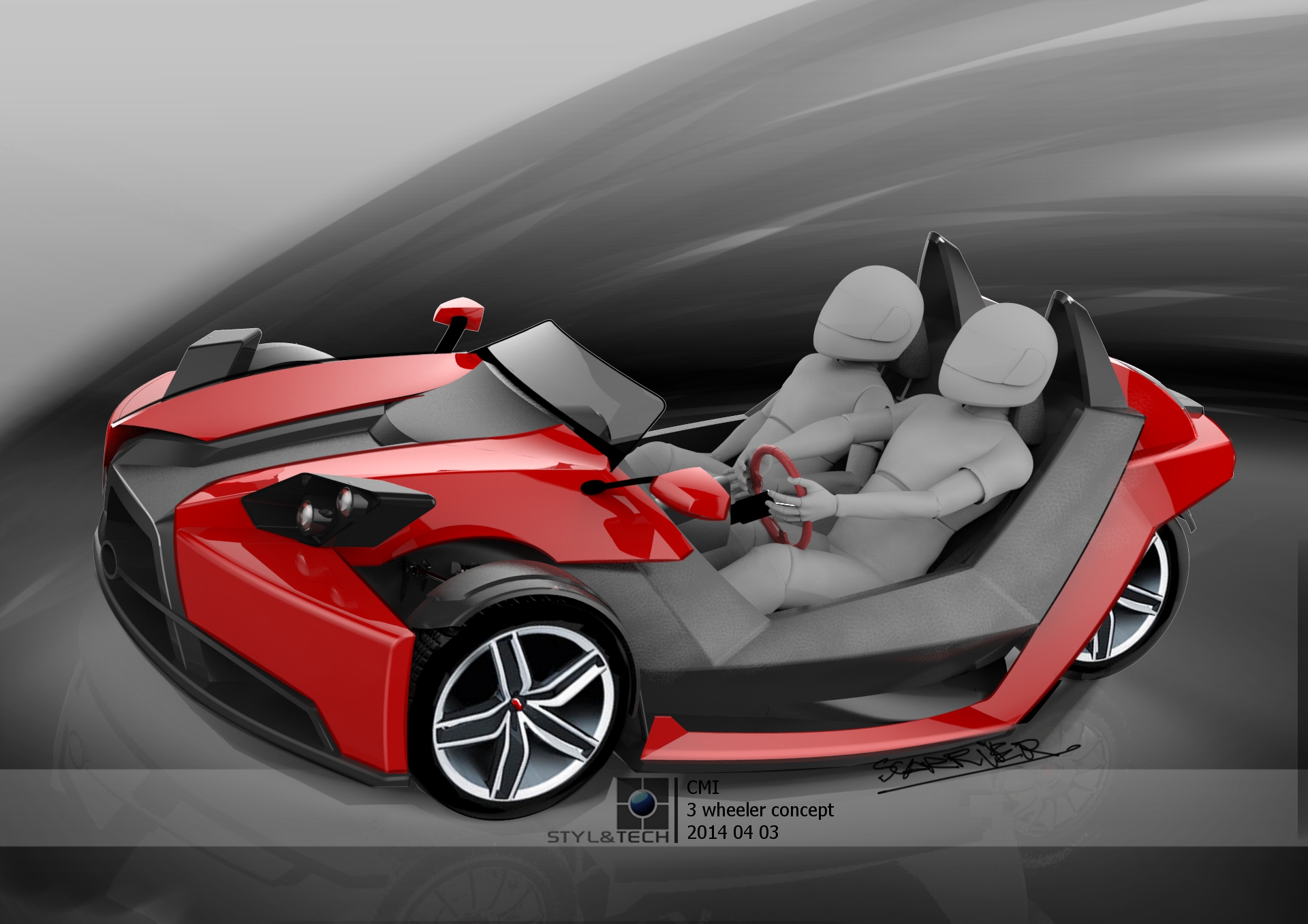
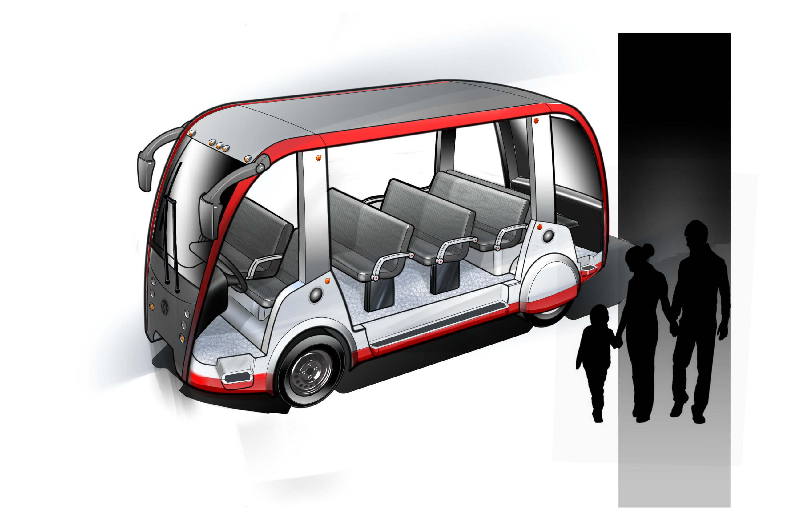
Ergonomic Simulations
Using virtual human models (95th percentile male and 5th percentile female), our specialists can simulate three dimensional ergonomic simulations to comply regulations requirements such as ADA, APTA, FMVSS and MDR, and explore industrial safety issues at no risk.
Products
03
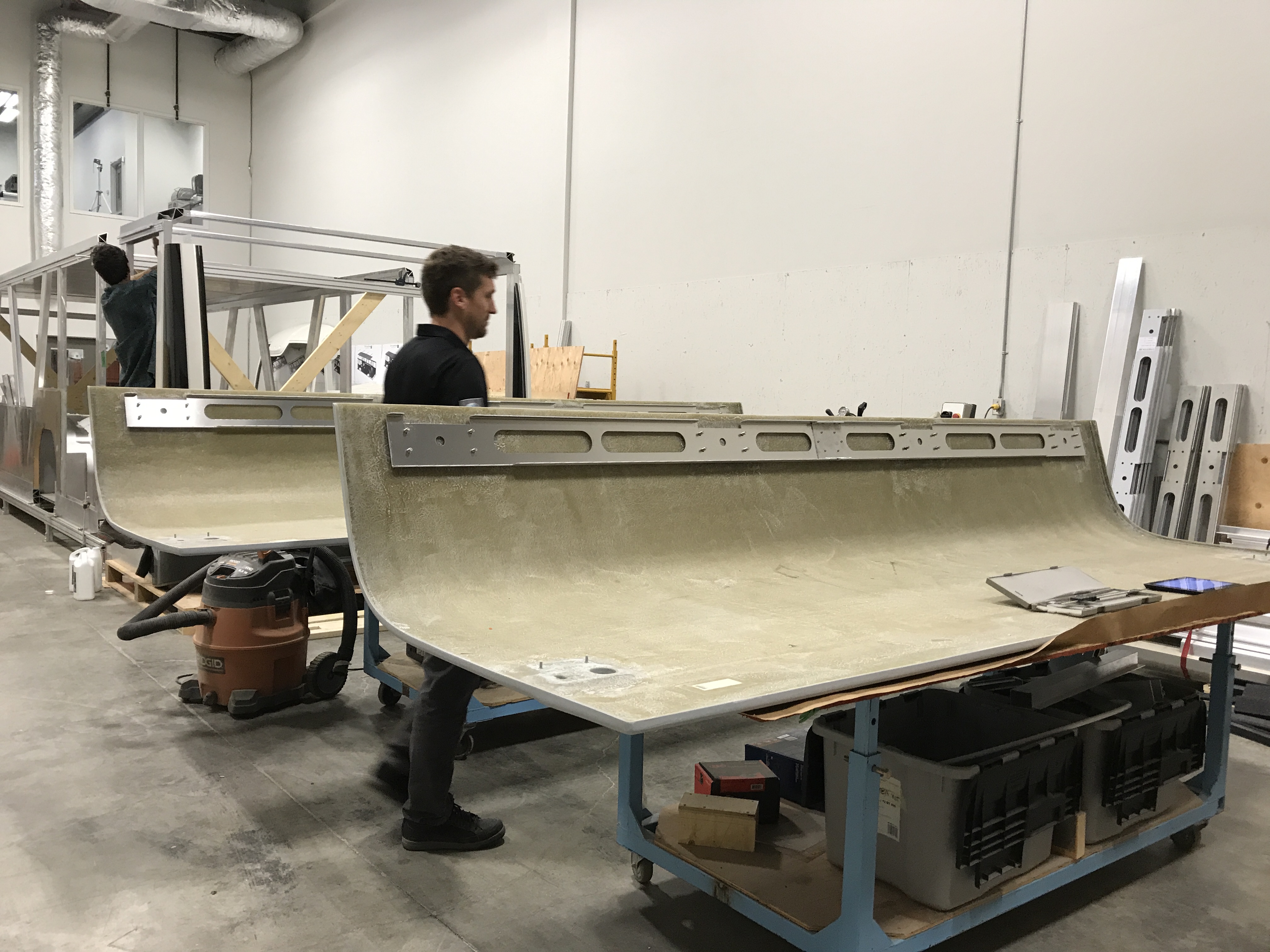
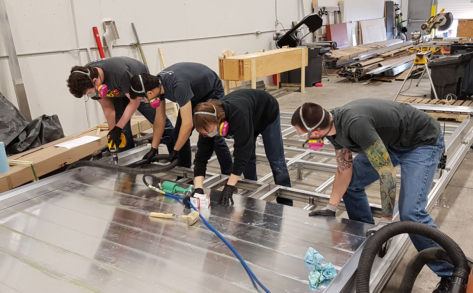
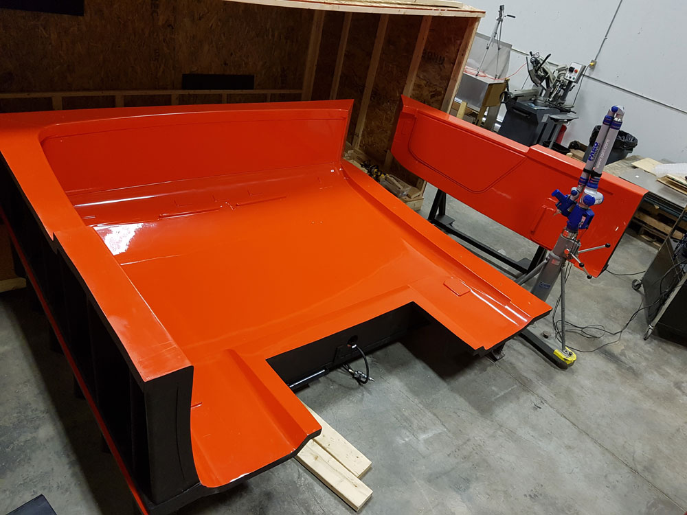
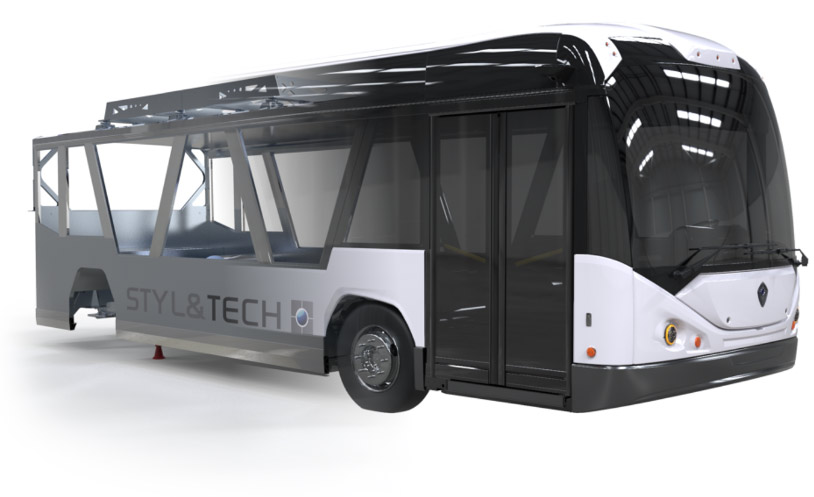
AlliteBus Platform
AlliteBus, the ultralight bus platform
Cities around the world are starting to understand the correlation between the weight of vehicles, roadway degradation—and skyrocketing repair and replacement costs. STYL&TECH developed the solution: AlliteBus, an ultra-lightweight midibus platform.
Discover the allitebus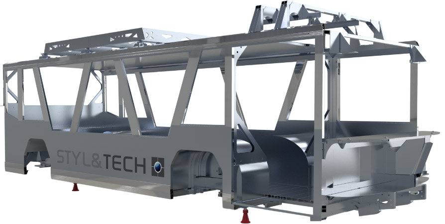
Blog
03
June 5, 2019
STYL&TECH collaborates with LynX Inspection for the launch of their new product.
Design industrielEngineeringFabricationIndustrial designIngénierieManufacturing

April 25, 2019
STYL&TECH recognized for its innovation at the “Gala Mérites STIQ 2019”
March 28th was the 8th edition of “Gala Les Mérites STIQ”. During this occasion, the association rewarded 6 companies for their business practice in various categories. The laureate in the Innovation category has […]
EngineeringIndustrial designManufacturing
Customers
04